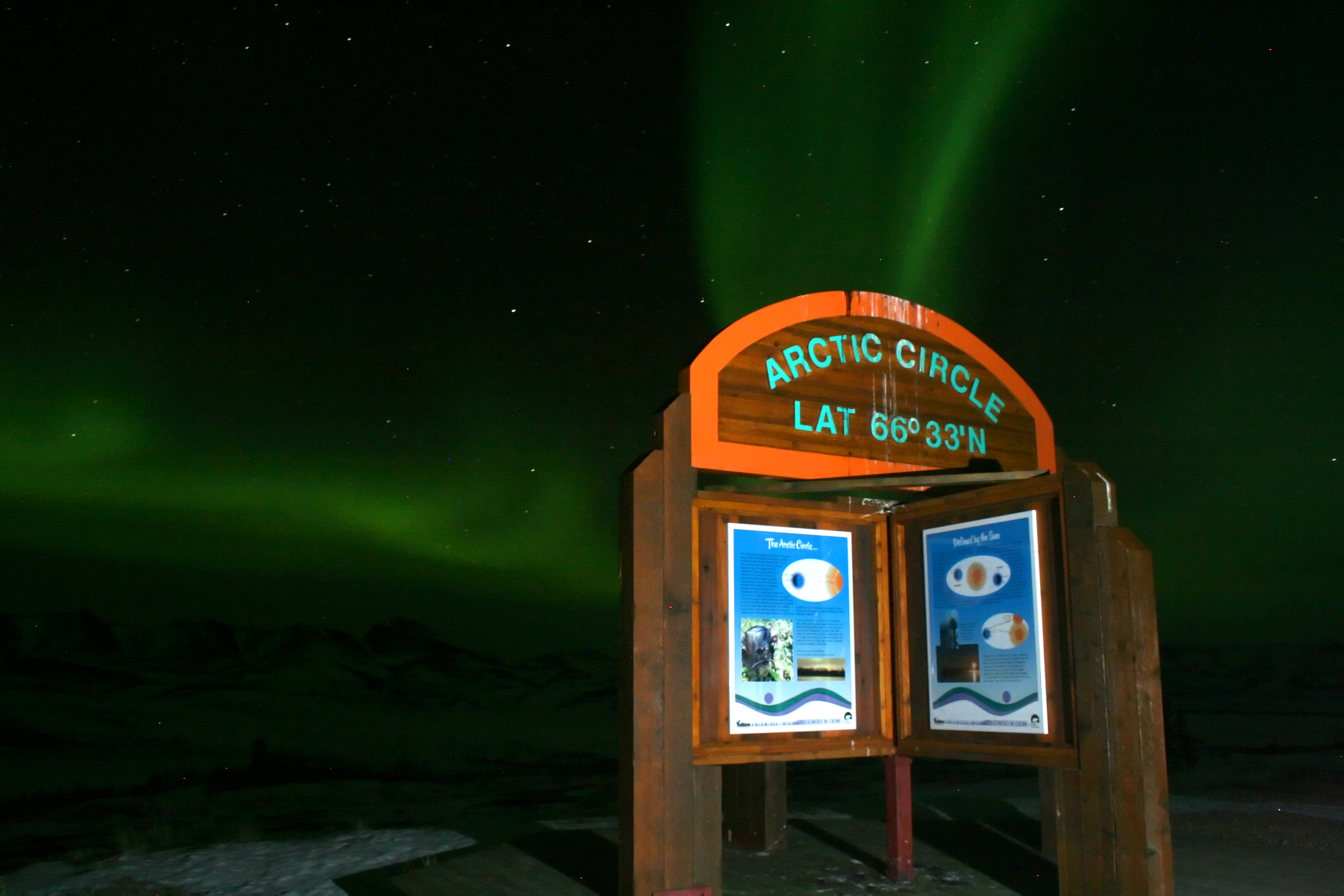
Aurora borealis at the Arctic Circle in Yukon / Northwest Territories. Photo: madmack66, CC BY 2.0, via Wikimedia Commons.
Why site selection matters
A geomagnetic storm of Kp5 or higher creates the physical conditions for aurora. Whether a specific observer sees that aurora depends almost entirely on two things: the transparency of the sky above them, and the darkness of their local horizon. Both factors are determined before the observer leaves home.
Light pollution from cities and towns creates a diffuse sky glow that masks the lower portions of an aurora display — precisely where the most structured features (curtains, rays, bands) appear. Faint diffuse aurora, which dominates during moderate Kp events, can be effectively invisible from within 30 km of a population centre of 50,000 or more.
The two axes of site quality
Geomagnetic latitude
Canada's territory extends from roughly 42°N geographic latitude at Windsor, Ontario, to more than 80°N in the Queen Elizabeth Islands. However, aurora oval position is better described by geomagnetic latitude, which differs from geographic latitude due to the offset of Earth's magnetic pole. For Canadian observers, geomagnetic latitude is generally 5–10 degrees higher than geographic latitude in the western provinces and territories.
Yellowknife, NWT (62°N geographic, approximately 68° geomagnetic) sits beneath the statistical auroral oval under quiet conditions. During periods of elevated solar activity, the oval expands equatorward, bringing aurora to lower latitudes. This is why Kp thresholds vary by province — the same storm that produces overhead aurora in Yellowknife may produce only a faint glow on the northern horizon in Calgary.
Artificial sky brightness
The standard reference for light pollution mapping is the Light Pollution Map, which draws on VIIRS satellite data from NOAA. For aurora observation, sites in the Bortle 3 or lower zone (displayed as dark blue or black on standard maps) provide adequate darkness for detecting faint diffuse aurora. Bortle 4–5 sites (grey on maps) suppress fainter aurora but allow moderate-to-strong displays at Kp6+.
Terrain and horizon clearance
Aurora activity is not confined to directly overhead. During active storms, the brightest displays often form 10–30° above the magnetic north horizon, with dynamic features extending upward. A southern treeline or ridgeline that cuts off the horizon above 10° altitude will obscure the most structured part of many displays.
Flat terrain — boreal lowlands, prairie margins, and open shield surfaces — generally provides better all-horizon access than forested uplands or foothills. Lakes and frozen river corridors provide natural clearings, though observers should account for fog and moisture-related cloud formation near open water in spring and autumn.
Horizon assessment
The Photographer's Ephemeris and similar tools display terrain elevation profiles in any compass direction from a chosen location. For aurora work, assess the northern horizon from 280° to 80° azimuth for obstructions above 5–10° altitude.
Provincial and territorial notes
Yukon and Northwest Territories
The most reliably productive Canadian aurora territory. The auroral zone passes directly over both territories, meaning aurora is visible on most clear nights between September and March even at quiet Kp levels. The Dempster Highway corridor in Yukon and the road network around Yellowknife are frequently cited observation corridors due to low population density, flat terrain, and road access 40–80 km from town centres.
Nunavut
Extreme geomagnetic latitudes, minimal light pollution, and extended winter darkness create ideal conditions. However, access is limited to fly-in communities, and weather can be severely adverse. Iqaluit and Rankin Inlet have road infrastructure suitable for day-use dark-sky sites within practical distance of town.
Northern Manitoba and Saskatchewan
Thompson, Manitoba, and La Ronge, Saskatchewan, are at latitudes where aurora is visible on moderately active nights. The boreal lowlands north of these towns offer accessible dark-sky sites with flat terrain. The Churchill area in Manitoba falls within the auroral zone proper and has a history of aurora tourism infrastructure.
Alberta and British Columbia
Calgary and Edmonton observers need Kp6+ for reliable sightings from suburban locations. Dark-sky sites in the Foothills and on the eastern slopes of the Rockies (west of Calgary, north of Edmonton toward Athabasca) provide Bortle 3–4 conditions within 90 minutes of urban centres. Northern British Columbia — particularly the Peace River country and the area around Fort Nelson — is at high enough latitude for regular sightings at Kp4–5.
Ontario and Quebec
The Great Lakes region constrains dark-sky access from southern Ontario. Algonquin Provincial Park (Bortle 3–4) is the most accessible dark-sky site within a few hours of the Toronto–Ottawa corridor. Northern Ontario along the Trans-Canada and Highway 11 corridor — Cochrane, Kapuskasing, Hearst — provides significantly better geomagnetic latitude and darker skies. Northern Quebec, including the Abitibi and James Bay regions, offers similar latitude advantages with minimal infrastructure.
Designating a target site: a practical checklist
- Verify the site's geomagnetic latitude is consistent with the forecast Kp threshold.
- Check light pollution maps for Bortle class — target Bortle 3 or lower for detecting faint diffuse aurora.
- Confirm road access and safety conditions for the forecast night.
- Assess the northern horizon profile for obstructions above 5° altitude.
- Review the cloud-cover forecast (see cloud cover forecasting article) for the specific window.
- Identify a backup site in a different cloud-cover region if the primary site shows overcast.

Aurora borealis over Hudson Bay. Via Wikimedia Commons.